Sierra Maps
Sierra Maps
Sierra Maps
Low stock: 5 left
Couldn't load pickup availability
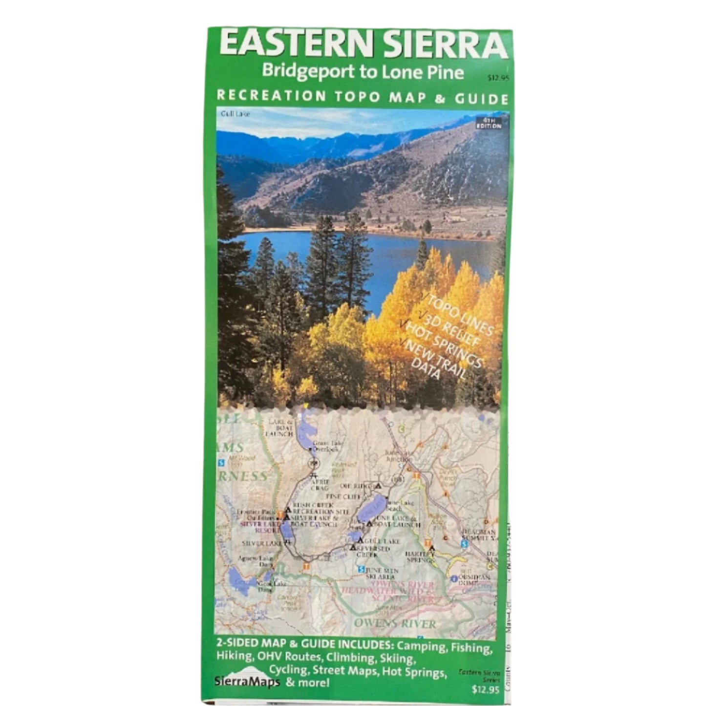
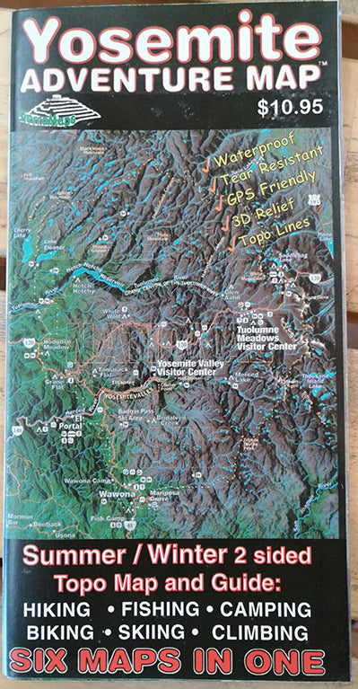
Sierra Maps is a local map publisher for the Sierra Nevada region. The company covers close-by places including Mammoth Lakes, the Bishop region, Mt. Whitney, Death Valley, Yosemite, and other favorite Eastern Sierra places. Maps published by Sierra Maps are locally researched, published, and are frequently updated. Each map is waterproof, includes topo lines, 3D relief, and new trail data. These colorful, 2-sided maps also include any camping, fishing, OHV routes, climbing, cycling, and skiing areas. Campgrounds, street maps, lodging, business and more are shown in detail on these maps. Sierra Maps should be your go-to maps for pursuing any recreation and direction along the Eastern Sierra!
Share


